
Playlist
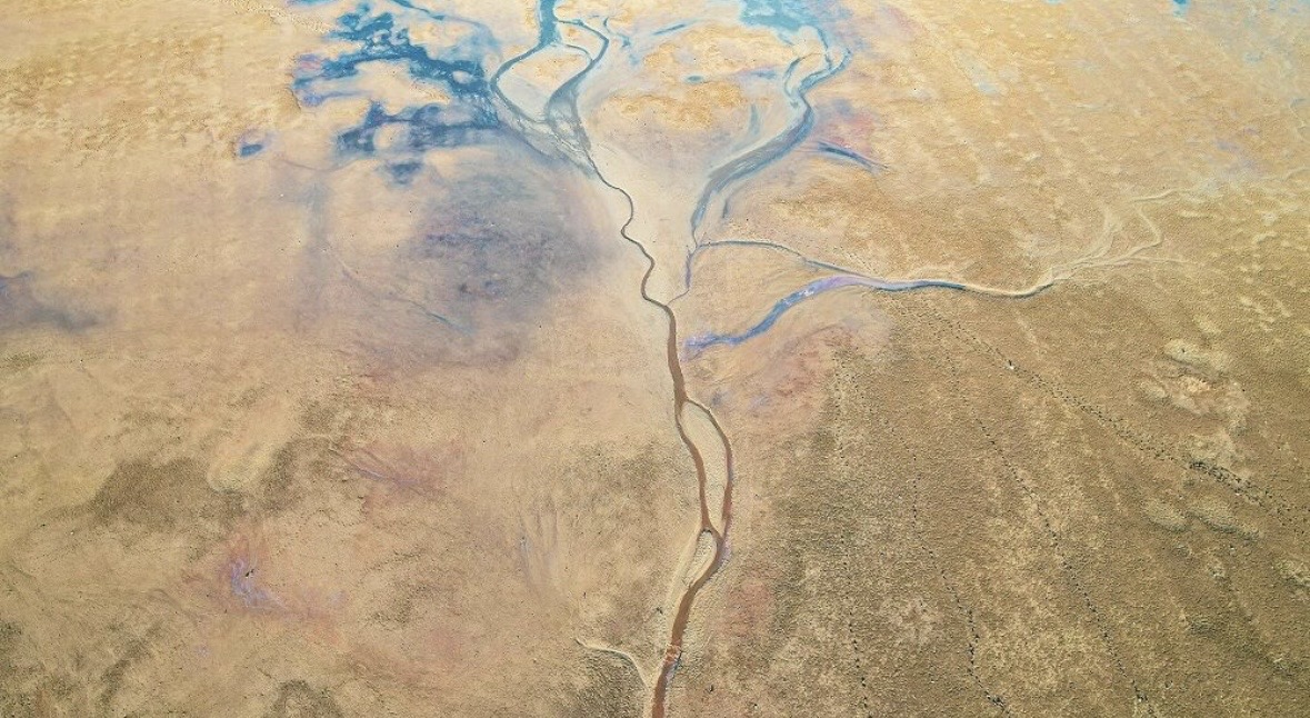
The Sahara, known as the world’s largest hot desert, has recently witnessed an extraordinary meteorological phenomenon due to unprecedented rainfall. In areas that have not seen significant precipitation for decades, vast lakes have formed amidst the iconic sand dunes. This transformation has surprised the international community, drawing interest from both scientists and climate researchers worldwide.
Experts attribute this rare occurrence to a significant shift in atmospheric moisture patterns and weather currents across the African continent. The intense rainfall collected in natural depressions, creating extensive water bodies that have dramatically altered the desert's arid landscape. This temporary influx of water has triggered a rapid revival of local vegetation and provided a rare sanctuary for desert wildlife.
Historical data suggests that the Sahara has experienced humid phases in the past, and these newly formed lakes offer a modern glimpse into such environmental cycles. Satellite imagery clearly shows the extent of the flooding, revealing how the water has reshaped long-dry basins into blue lagoons. Ecologists are now closely monitoring the duration of these water sources and their impact on the region's overall biodiversity.
This natural transformation could lead to a reassessment of climate change models specifically for the North African region. Scientists are investigating how long these lakes will persist and whether such events could become more frequent in the future. Currently, the Sahara serves as a focal point for researchers aiming to understand the complex interactions within the Earth’s evolving climate systems.
Also read



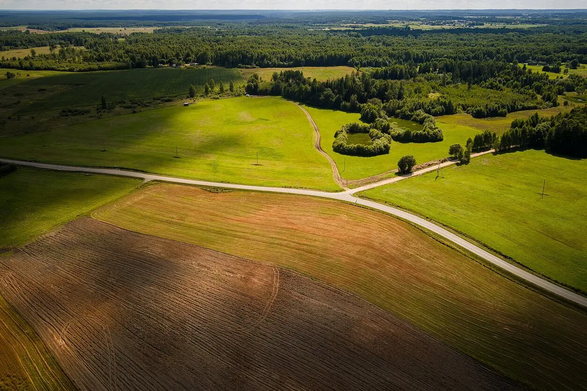
Seismic First: Scientists Officially Confirm Natural Earthquakes in Lithuania
10 Oct. 10:55The Geological Survey of Lithuania, supported by seismologists from the University of Helsinki, has officially confirmed the occurrence of natural tectonic earthquakes within the country’s borders for the first time. The seismic events, measuring 2.4 and 2.7 on the magnitude scale, occurred in western Lithuania near the Gargždai fault zone in December 2025. Furthermore, updated analysis of international seismic data allowed experts to reclassify a previously ambiguous 2015 tremor as a natural earthquake rather than human-induced activity.
Although the low-intensity quakes caused no structural damage or casualties, they mark the first instrumentally verified natural tectonic events recorded in modern Lithuanian history.
Blitz